Find our school in the middle of the map. Near it you can see shops, stops and other services people use.
What services can you name on this map, or near our school?
We have twelve services. Who looks after each one?
- Read the service on the card.
- Choose the box that fits best: the council, a service for the whole country, a community group, or a business.
- Say why it belongs there. A card may fit more than one box if you can give a clear reason.
Which services were hardest to place, and why?
Who looks after each service?
In your copy, finish these two lines.
One service near our school is ...
I think ... looks after it because ...
Look back at the sorted cards on the board.
Which box held the most services that we use close to school?
Name one service the council looks after, one that a service for the whole country looks after, one that a community group looks after, and one that a business looks after.
Look at a sorted card. Does it tell us who pays for the service? Does it tell us how well the service is run this week?
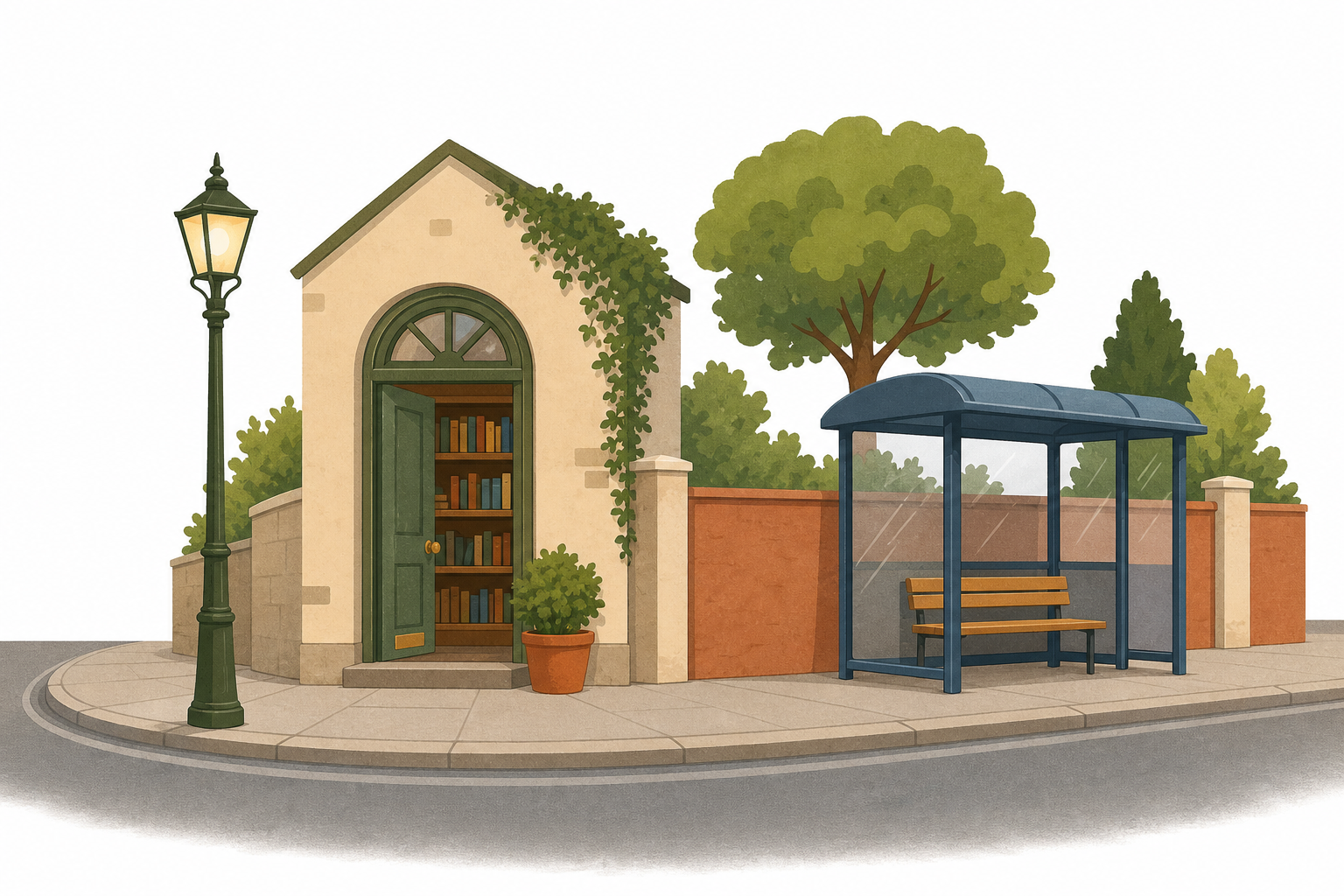
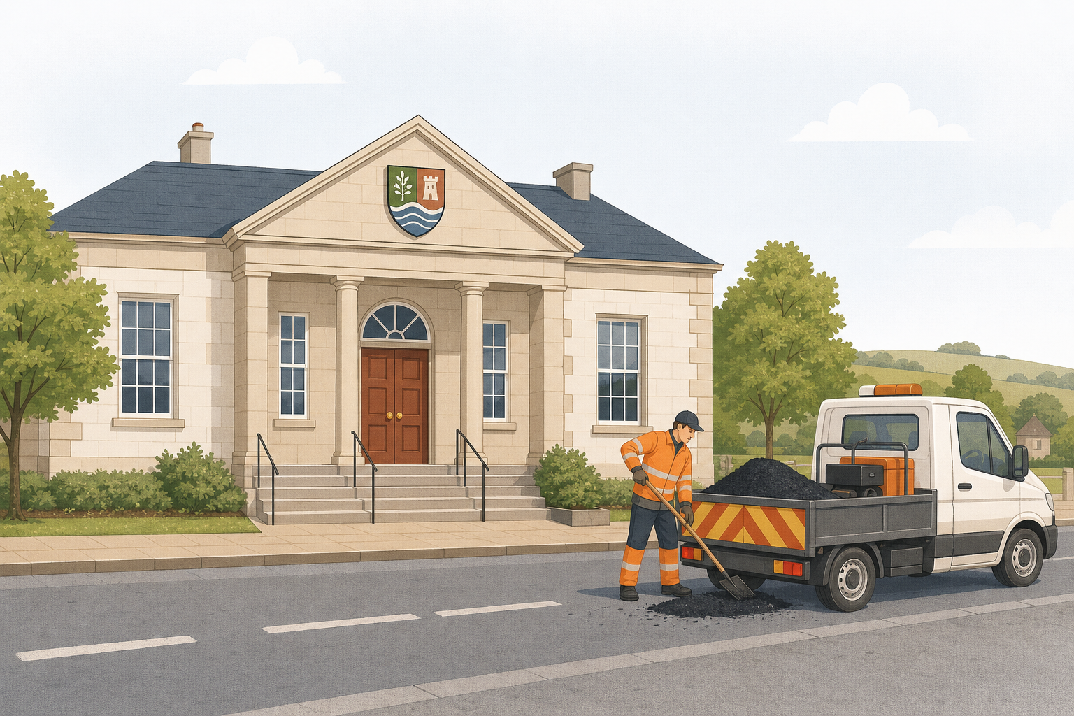
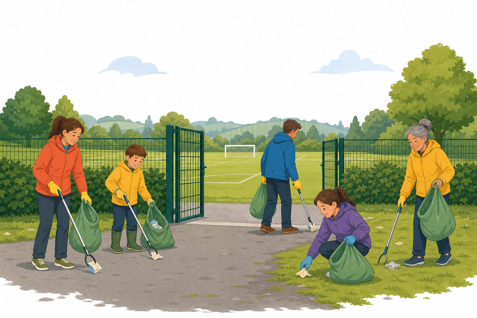
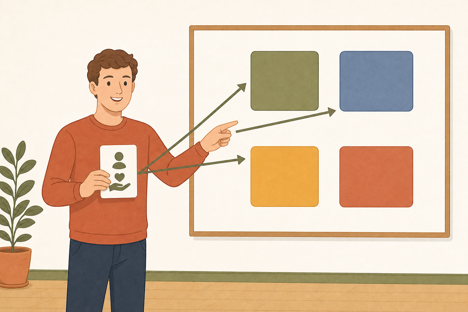
Services near us are looked after by different people: the council, services for the whole country, community groups and businesses. We sort each one by asking whose job it is, and we give a reason.
If something went wrong on the street outside our gate tomorrow, who would you tell first, and why?
That was a sample lesson from Geography for 5th Class
Every lesson in the course is ready to teach like this one. See what else comes with it, and how to order it.
This lesson is copyright of Coding Ireland 2017 - 2026. Unauthorised use, copying or distribution is not allowed.