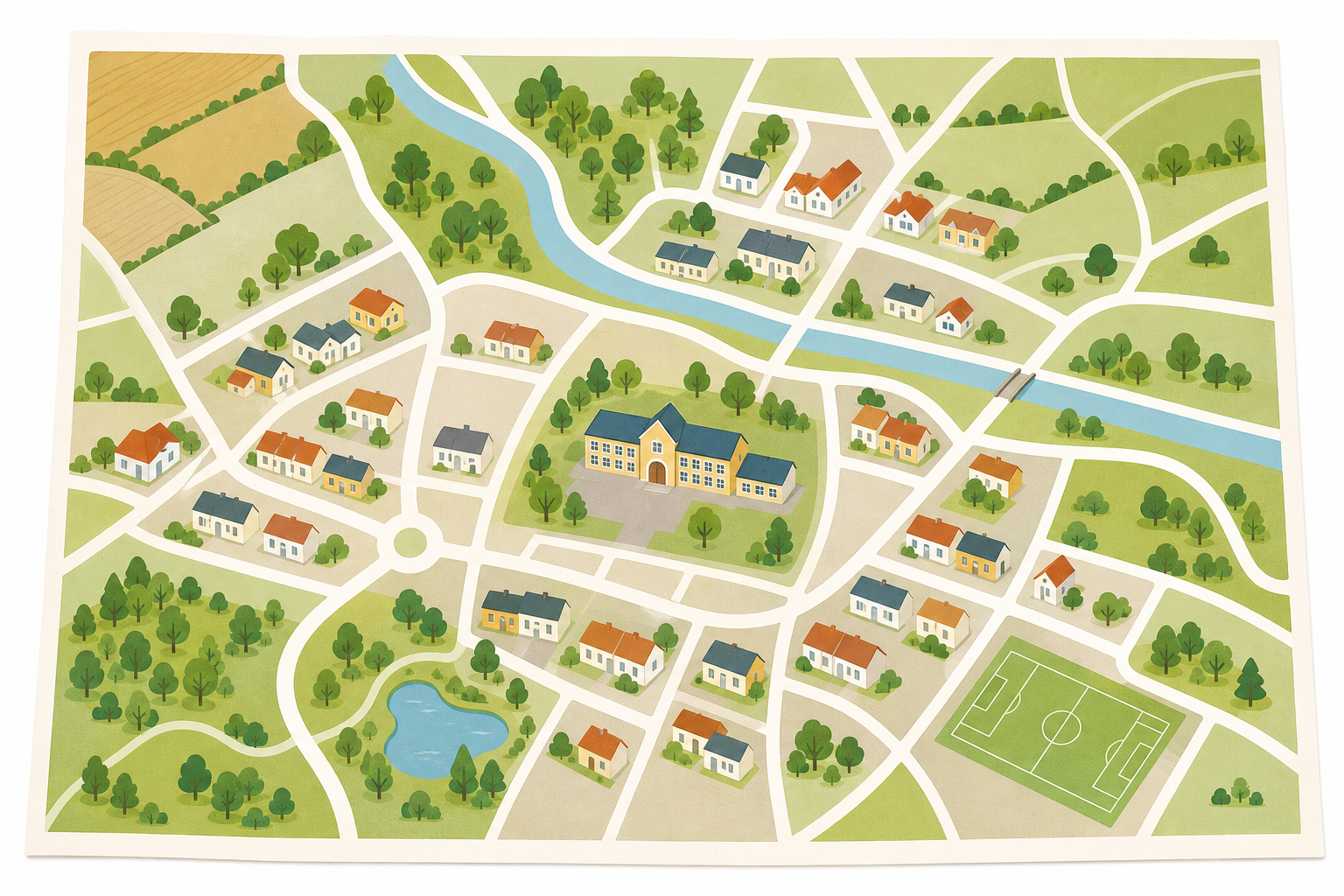
Look at the map on the board. Our school is the pin in the middle.
What do you notice? What do you wonder?
Here is our question. What can we see around our school when we look down on it from the sky?
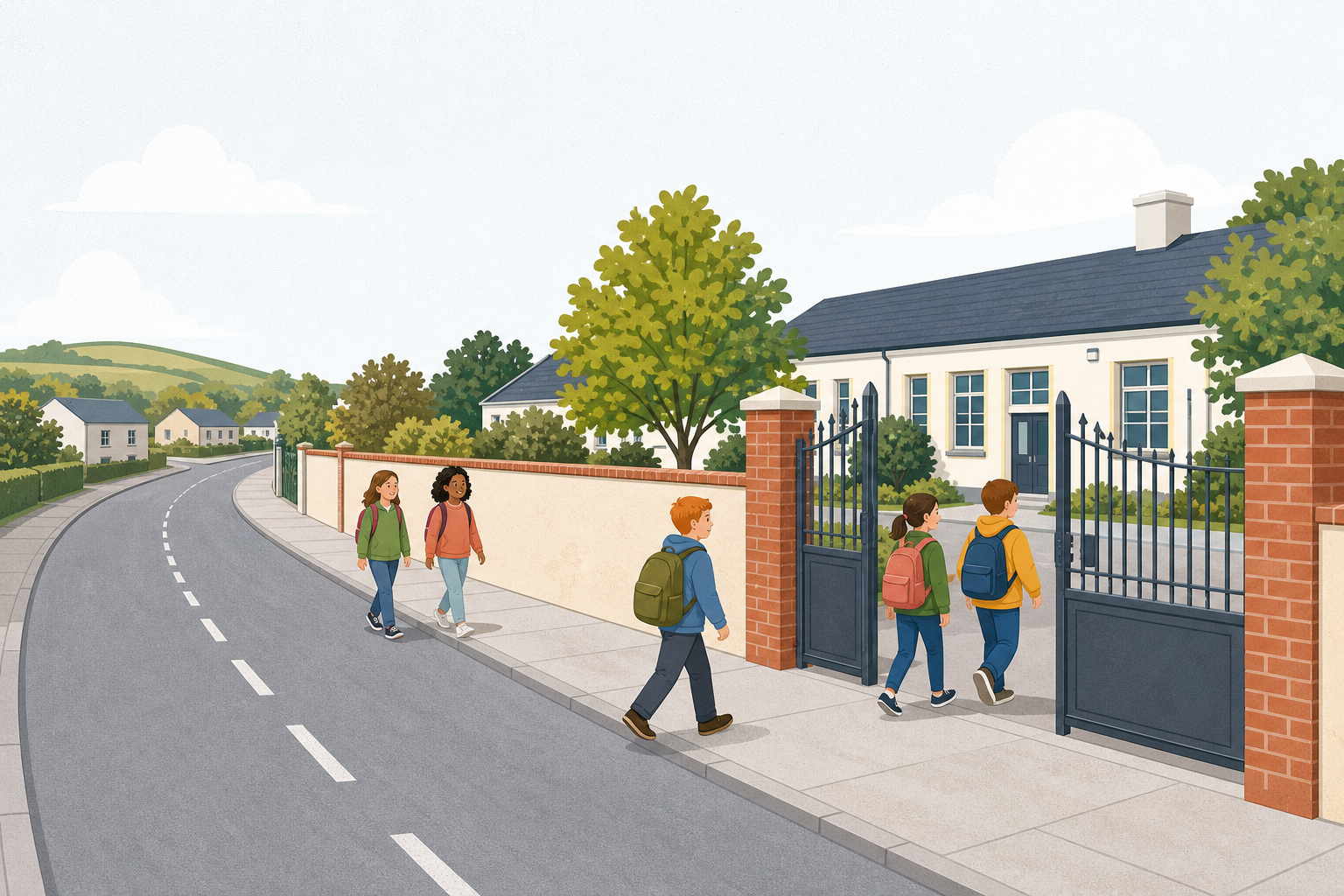
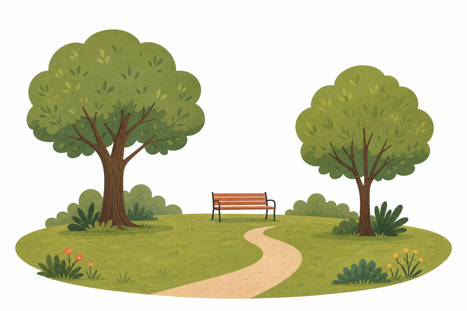
Look at each picture. See how a map shows a road, a green place and a building from above.
Look at the map again. Our school is still in the middle.
- What colour are the school grounds?
- Where is the road by the gate?
- Where can you see a green place?
- Where can you see a building that is not our school?
Pin what we find
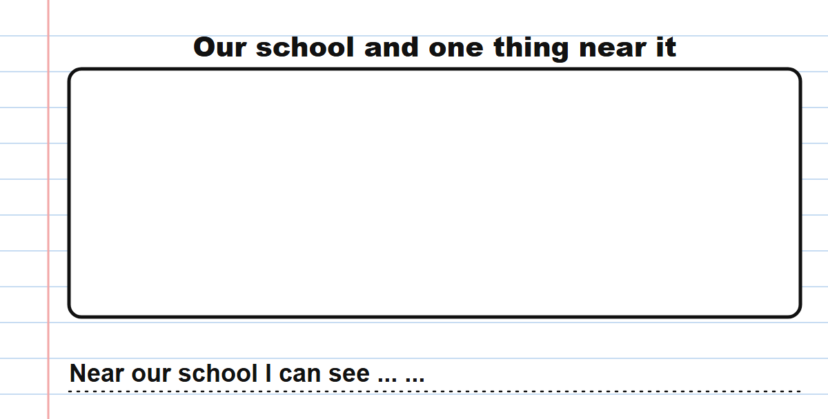
In your copy, draw our school and one thing near it from the map. Then finish this sentence: Near our school I can see ...
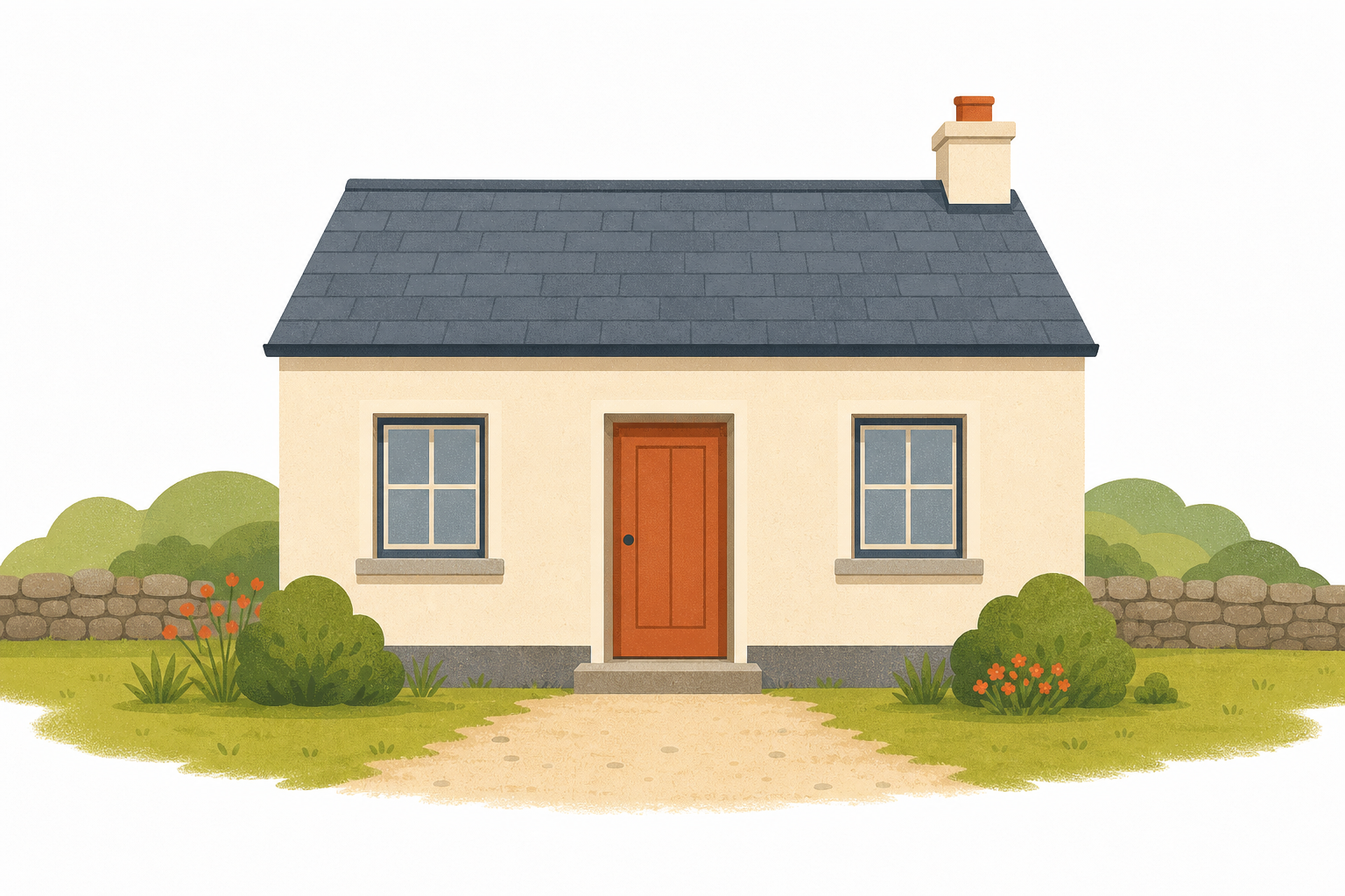
What can we see around our school when we look down on it from the sky?
Can the map tell us what the yard smells like, or who is in the hall now?
If a visitor came, what would you show them first on this map?
Unlock the full learning experience
You're previewing this lesson. Get full access to this lesson and hundreds more — each one ready to teach, with interactive activities, printable resources and pupil progress tracking built in.
This lesson is copyright of Coding Ireland 2017 - 2026. Unauthorised use, copying or distribution is not allowed.