Find our school in the middle of the map. Look at the roads that lead to the gate.
Today's question: how do we get to school, and how much choice do we really have?
Let's find out how children get to school, and what helps them choose a way.
How did our class get to school today? Put your hand up once, for your main way, when it is called.
Which way has the most pictures? How many of us are there altogether?
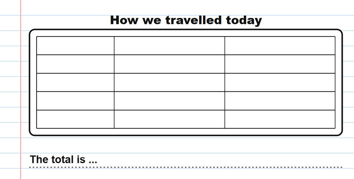
How we travelled today
In your copy, draw our class pictogram from the board. For each row, draw one simple picture, write the number of children beside it, and write the label. Write the total underneath.
Look at the roads round our school.
- Where is there a footpath or a crossing, a bus stop, or a place to leave a bike?
- Where is a busy road with no footpath?
- Look at our pins and think back to our pictogram. Finish this sentence: walking to our school is easy or hard because ...
Roads round our school
Unlock the full learning experience
You're previewing this lesson. Get full access to this lesson and hundreds more — each one ready to teach, with interactive activities, printable resources and pupil progress tracking built in.
This lesson is copyright of Coding Ireland 2017 - 2026. Unauthorised use, copying or distribution is not allowed.