You're previewing the student experience. You don't need to complete this lesson — your progress and XP aren't saved.
Beginner
45 mins
Teacher/Student led
+70 XP
Teacher-led from the board. Pupils do not need a device, but can follow on one.

High Ground and Low Ground

We examine the contour map of the land around our school. We use the colour key to pin the highest ground, the lowest ground and any water. We learn what crowded contour lines mean about the ground on the map.

This lesson is made for your school

Its maps and local places change to show each school's own area: its streets, hills, castles and old workplaces. Pick your school to see the lesson as your class would.

Teacher Class Feed

Load previous activity
    Your turn
    Your teacher is running this lesson on the board. Here is the part you can try yourself.
    Interactive slideshow
    Map explorer

    1 - Where Are We? ~5 mins

    Look at the map of the land around our school. Our school is in the middle.

    What do you notice about the colours and the lines?

    Our question: where is the high ground and the low ground around our school, and how does the map show it?

    2 - Talk and Learn ~6 mins

    Look at each slide with the teacher. Listen for how colours and lines show high ground, low ground and steep ground.

    3 - Pin High, Low and Water ~13 mins

    Where is the highest ground near our school, and where is the lowest?

    Is there any water?

    Which colour told you?

    Where do the contour lines crowd close together, and what is the ground like there?

    High, low and water

    4 - Write It in Your Copy ~3 mins

    COPYBOOK MOMENT

    In your copy, finish this sentence:

    When the contour lines are close together, the ground is ...
    5 - What We Found ~6 mins

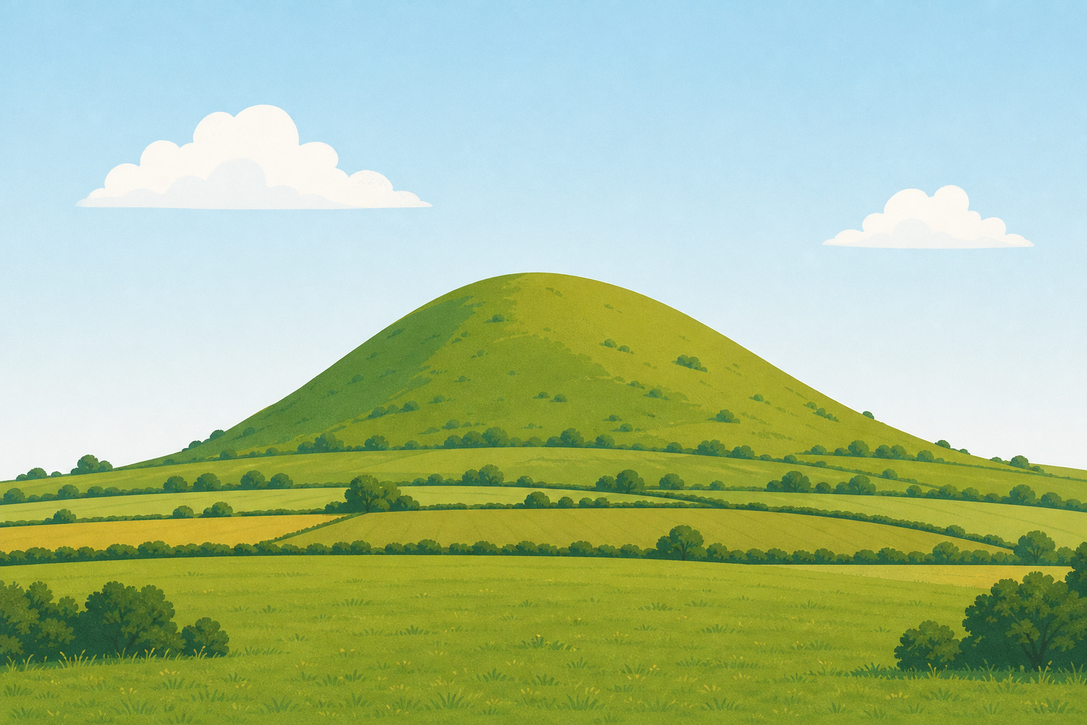
    a rounded grassy hill rising above flat green fields under a clear sky
    high ground land that stands up above the land around it
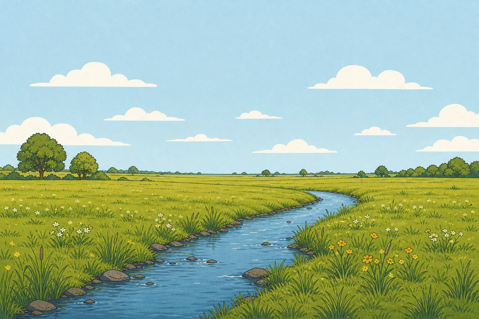
    a wide flat green field with a small stream and no hills nearby
    low ground flatter land lower down
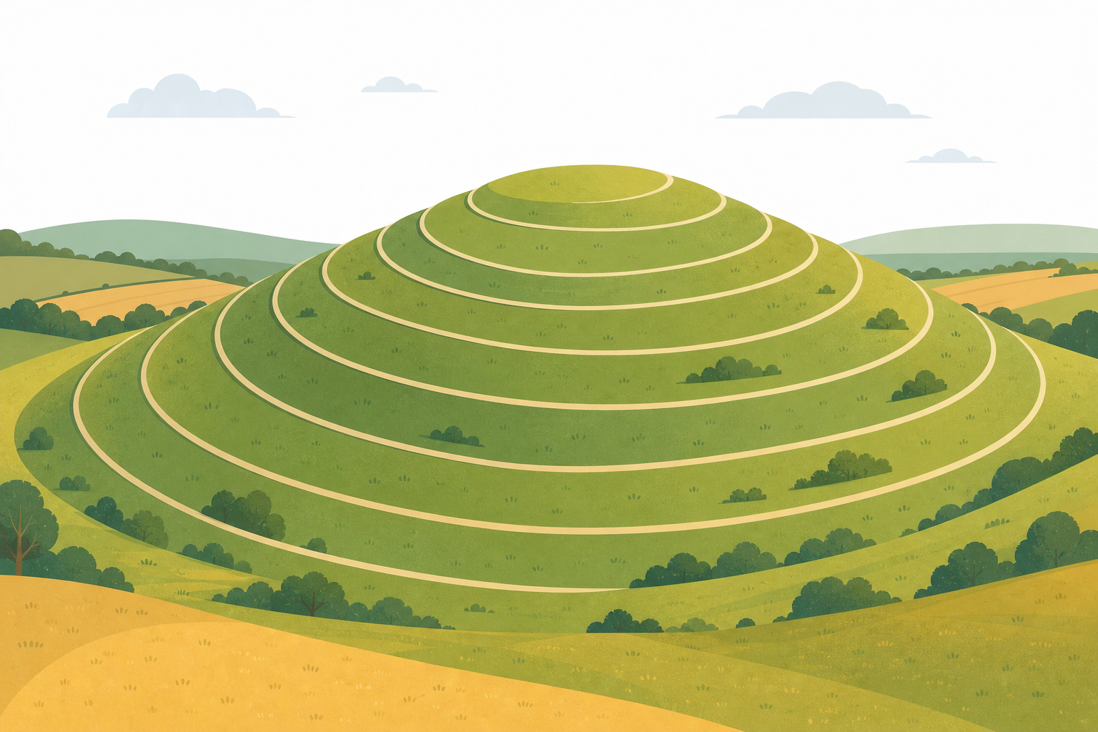
    smooth curved lines drawn around a hill like rings, seen from a gentle angle above
    contour a line that joins places of the same height
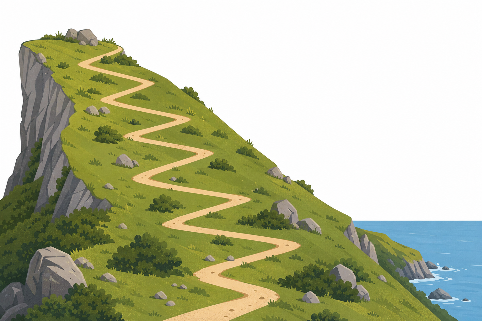
    a sharp grassy hillside dropping quickly, with a path zig-zagging down it
    steep ground that rises or falls quickly

    Where is the highest ground and the lowest ground around our school, and how does the map show it?

    What can our contour map not tell us about the land?

    Pupil practice · Activity Sheet
    Module 1 · Our Place, Beyond the Gate
    Lesson 1 · High Ground and Low Ground
    Download Activity Sheet (PDF)
    End of lesson
    123learn · Sample lesson

    That was a sample lesson from SEE for 2nd Class

    Every lesson in the course is ready to teach like this one. See what else comes with it, and how to order it.

    Copyright Notice
    This lesson is copyright of Coding Ireland 2017 - 2026. Unauthorised use, copying or distribution is not allowed.
    🍪 Our website uses cookies to make your browsing experience better. By using our website you agree to our use of cookies. Learn more